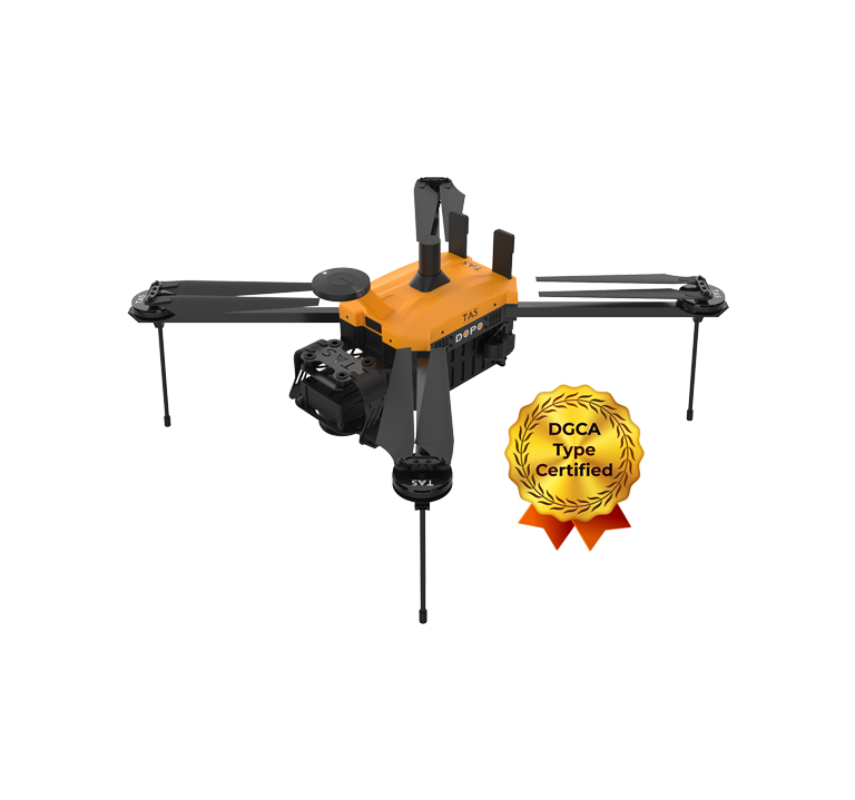
DOPO UAV is a DGCA type certified drone, which is designed to deliver high-quality aerial imagery and data for various applications. This includes land surveying, topographic mapping, urban planning, infrastructure monitoring, environmental assessment, precision agriculture and more. DOPO Survey UAV is equipped with advanced features such as:
Long endurance and range: Dopo UAVs can fly up to 49 minutes, communication range of up to 5 km and maps up to 1.2 sq. Km in a single flight.
High-resolution camera: DOPO + PPK UAVs can achieve GSD up to 2.5cm/pixel and accuracy up to 5 cm in X, Y, Z.
TAS DOPO UAS can be used for a wide range of purposes, such as:
Surveys and Mapping: Drones equipped with high-resolution cameras and sensors capture aerial images and data. This method is faster, more efficient, and often cheaper than traditional surveying techniques. Using photogrammetry software, the captured images are stitched together to create detailed maps, 3D models, and topographic surveys.
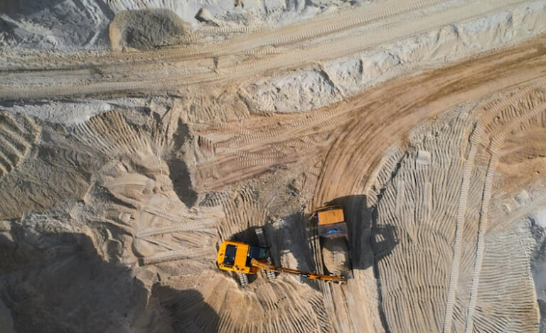
Mining: DOPO UAS can help miners survey and map mineral deposits, assess environmental impact, conduct inspections and audits, and improve safety and security. It can also enable remote mining operations, which can reduce costs and risks associated with human presence.
Construction: DOPO UAS can help builders plan and design projects, monitor progress and quality, conduct inspections and audits, and improve safety and security. It can also facilitate collaboration and communication among stakeholders, such as architects, engineers, contractors, and clients.